Park Loop or Greenway Out-and-Back? Choosing a Neighbourhood Nature Walk
Park loop or greenway out-and-back: compare route shape, habitat changes and exit points to choose a neighbourhood nature walk that suits your plans.

The easiest mistake with a neighbourhood nature walk is choosing the longer line on the map because it looks more substantial. A park loop or greenway out-and-back can both lead to a dull stretch, a blocked connection or an inconvenient return; what matters is what the path passes and where you can leave it.
Say you have a free afternoon, a notebook and two nearby options. Cedar Field Park has a loop past playing fields, a pond and a wooded edge. Mill Lane Greenway follows a planted drainage corridor beside a quiet road, with paths joining it along the way. You would like to notice plants and small wildlife, but want the option of heading home early. The names on the map offer no verdict by themselves.
Route shape
A loop returns you to its starting point by a different stretch of path. It avoids retracing every turn, but does not promise variety: a circuit around one field can show much the same view from several sides.
An out-and-back uses the same path in both directions. You choose where to turn round, then retrace your route. The return may feel repetitive along a uniform corridor; bends, hedges and changes in shade give you different details to notice from the opposite direction.
Cedar Field’s loop passes a pond and wooded strip before returning beside the playing fields. Mill Lane is linear, but bends past a rain garden and alder trees. The park compresses its changes into a circuit; the greenway unfolds them along the way. Neither route shape is inherently more interesting.
On a map, check actual connections rather than trusting a route labelled as a loop. A gate, road crossing or path that ends at a boundary may interrupt the circuit. On the ground, signs can clarify whether paths reconnect or lead somewhere else.
Habitat changes
For a nature walk, variety comes from the edges and conditions along the path, not simply the amount of green on a map. A pond margin, mown lawn, hedge and shaded hollow each offer different things to notice. One clear transition can be more engaging than a long stretch of similar planting.
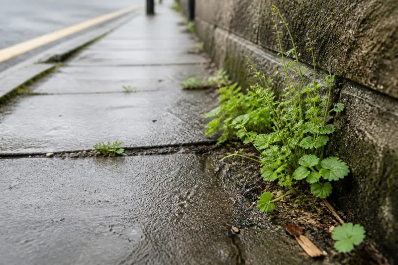
Cedar Field moves from pond to woodland edge to open grass. Mill Lane changes more gradually from roadside verge to planted swale, alder shade and a community garden. Look for boundaries such as wet ground meeting a dry path, long growth beside mown grass, or open sun giving way to shade.
Seasonal changes can alter what is visible. New growth, seed heads and bare branches each draw attention to different details. A route that held little interest on one visit may offer something else when its plants and surroundings change.
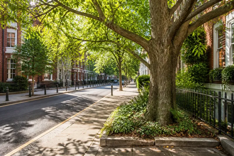
Also notice how the path meets the neighbourhood. A fence or dense hedge may limit your view; a greenway beside a road may be less quiet than its name suggests. Broad views, close planting and traffic are all part of what the walk is like, not minor details to discover after setting out.
Exits and returns
An out-and-back lets you choose a turnaround point, provided you remember that every extra stretch ahead must also be walked back unless there is another public exit. A loop returns to its starting point without a turnaround decision, but may have no short cut if you want to leave early.
Imagine you reach the alder trees on Mill Lane as clouds gather. The map and signs show a public entrance near the swale, so you turn there and head back. You have seen the roadside verge and shaded water edge without continuing to the community garden. Had you carried on, you would have needed to return along the same path unless another signed exit was available.
Before setting off, use these checks to make the choice. Each result points to a practical alternative rather than a wish that the route will sort itself out.
- Check whether the loop has a continuous public path; if a gate or road breaks the circuit, choose a route with a clear connection instead.
- Check for signed entrances or junctions before the greenway’s far end; if there is no usable exit, choose a shorter route or accept the full return.
- Check whether the loop has a signed short circuit; if it does, use that option when you need to shorten the walk, and if it does not, favour an out-and-back with known exits.
- Check the map and local signs for busy road crossings; if a crossing is unclear or unsuitable, choose a route that avoids it.
- Check for changes in path surface and any closure notices; if a section is closed or difficult to use, follow the signed alternative or choose another path.
- Check whether the path stays within public access areas; if it appears to enter private land, remain on the public route or turn back.
For soft, planted or clearly protected ground, stay on marked paths. If the route relies on a particular access point or local condition, check signs and current site information before setting out.
Choosing a route?
Which route suits limited time?
An out-and-back is easier to shorten when a clear landmark or public entrance provides a sensible turning point. A loop can also work if it has a signed short route; check for one rather than assuming you can cut across.
Which route offers more variety?
Compare the sequence of habitats and edges, not the route label. A compact loop may pass water, woodland and open grass, while a long greenway may follow much the same verge throughout.
Is an out-and-back repetitive?
It can be, especially along a straight corridor with little variation. Bends, changing shade and planted edges offer details to notice from both directions.
What should I check before setting out?
Check public entrances, path connections, crossings, surfaces and possible turning points. Follow local signs if a path is closed or access is restricted; maps are helpful, but they do not record every temporary change.
Making the choice
For the invented afternoon, Cedar Field gives you a compact circuit with changes between pond, woodland and grass. Mill Lane gives you a more adjustable walk, with a public exit near the swale and a gradual shift from verge to shade. Choose the loop if those distinct sections suit your available time; choose the greenway if its known exits matter more.
The balance would change if Cedar Field’s path had no useful variation or Mill Lane offered fewer public entrances than the map suggested. Compare the actual paths, their surroundings and their exits instead of treating “park loop” or “greenway” as a promise.
Pick one detail to follow, such as where the shade begins or where long grass meets a mown edge. On a loop, notice what changes along the other side of the circuit. On an out-and-back, look at the same boundary from the return direction. It gives the walk a focus without requiring a list of every plant.
Not worth the effort: plotting every turn in an app or trying to identify every plant before leaving. For a familiar walk, a map, visible junctions and a couple of landmarks are enough to help you choose a route and keep track of where you are.
For a neighbourhood nature walk, choose a park loop when its distinct sections make a satisfying circuit, or a greenway out-and-back when known exits let you adjust the distance. Once you are there, the useful question is often not how much path remains, but what changes at the next edge.